Today in Wetaskiwin, rain and snow will affect the region.
Temperatures will vary between -15 and -13°C, it will be freezing in the morning.
The reliability of the situation is good.
3:00 to 6:00
-14°Feels Like -16°
Gusts 15 km/hE 10 km/h
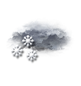
Overcast sky.
Risk of a few snowflakes.
Risk of snow
40 %
This morning
-14°Feels Like -17°due to the wind
Gusts 30 km/hE 20 km/h
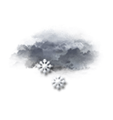
Very cloudy to overcast sky.
Snow showers clearing later.
Risk of snow
50 %
UV index0Low
Fresh snow0.2 cm
This afternoon
-14°Feels Like -16°due to the wind
Gusts 30 km/hE 15 km/h
Very cloudy sky turning overcast.
Snow showers starting to fall at the end of the afternoon.