Today in Col de Sié, warning:reduced visibility early in the day.
Temperatures will vary between 1 and 3°C, it will be cold.
The reliability of the situation is good.
9:00 to 12:00
2°Feels Like -1°due to the wind
Gusts 35 km/hW 15 km/h
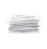
Warning! Dense and persistent fog patches.
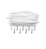
Risk of a few drops of rain.
Risk of rain
40 %
UV index0Low
This afternoon
2°Feels Like 0°due to the wind
Gusts 35 km/hW 15 km/h
Overcast and misty. Limited visibility.
Drizzle clearing gradually.
Risk of rain
65 %
UV index0Low
This evening
-1°Feels Like -3°due to the wind
Gusts 35 km/hW 15 km/h
Overcast and misty. Limited visibility.
No precipitation.
No risk of rain
Night
-2°Feels Like -4°
Gusts 20 km/hSW 10 km/h
Very cloudy sky with short clear periods.
No precipitation.
No risk of rain
Share
CLIMATE info
Rain
+85%
normal
More rain than normal
Water restriction: No restrictions
Temperature
-1°C
normal
Colder than normal
Normal temperature : 3°C
Average, today :
2°C
One year ago : 5°C