Today in Moléson-sur-Gruyères, unsettled weather with snow will affect the region.
Temperatures will vary between 0 and 2°C.
The reliability of the situation is good.
This morning
0°Feels Like 1°
Gusts 10 km/hCalm
Overcast and misty. Limited visibility.
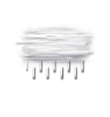
Drizzle starting to fall at the end of the morning.
Risk of rain
80 %
UV index0Low
Freezing level 0°
1150 m
Snow-rain limit
850 m
Fresh snow
0 cm
This afternoon
2°Feels Like 1°
Gusts 15 km/hCalm
Overcast and misty. Limited visibility.
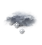
Light snow showers.
Risk of rain
75 %
UV index0Low
Freezing level 0°
1050 m
Snow-rain limit
750 m
Fresh snow
0 cm
This evening
-1°Feels Like -1°
Gusts 15 km/hCalm
Low cloud settling as fog.
Snow showers clearing later.
Risk of snow
50 %
Freezing level 0°
950 m
Snow-rain limit
650 m
Fresh snow
0 cm
Night
-3°Feels Like -3°
Gusts 10 km/hCalm
Very cloudy to overcast sky.
Warning: conditions favourable to black ice.
Risk of snow
20 %
Freezing level 0°
850 m
Snow-rain limit
550 m
Fresh snow
0 cm
Share
Station Info
open
Moléson-sur-Gruyères
Avalanche Risk
N.C.
Snow
3 cm
at the top
(2002m)
3 cm
down
(1110m)
Snowfall
20 days ago : 5 cm 28 days ago : 15 cm 1 month ago : 10 cm