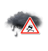
Today in Ski Ward, warning: icy conditions likely early in the day.
Temperatures will vary between -2 and 1°C.
The reliability of the situation is very good.
This morning
-2°Feels Like -6°due to the wind
Gusts 45 km/hE 20 km/h
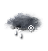
Overcast and misty. Limited visibility.
Warning: Freezing rain.
Risk of freezing rain
90 %
UV index1Low
Freezing level 0°
50 m
Snow-rain limit
0 m
Fresh snow
<1 cm
This afternoon
1°Feels Like -3°due to the wind
Gusts 45 km/hNE 20 km/h
Overcast and misty. Limited visibility.
Rain.
Risk of rain
90 %
UV index1Low
Freezing level 0°
200 m
Snow-rain limit
0 m
Fresh snow
<1 cm
This evening
1°Feels Like -1°
Gusts 60 km/hNW 30 km/h
Overcast sky with a slight tendency to improvement.
Sleet showers.
Risk of rain
90 %
Freezing level 0°
250 m
Snow-rain limit
0 m
Fresh snow
<1 cm
Night
-5°Feels Like -11°due to the wind
Gusts 80 km/hW 35 km/h
Clear periods.
Warning: conditions favourable to black ice.
No risk of rain
Freezing level 0°
0 m
Snow-rain limit
0 m
Fresh snow
<1 cm
Share
Station Info
open
Ski Ward
Avalanche Risk
N.C.
Snow
152 cm
at the top
(128m)
61 cm
down
(64m)
Snowfall
5 days ago : 10.2 cm 6 days ago : 5.1 cm 7 days ago : 10.2 cm