Today in Jay Peak, warning: strong gusts.
Temperatures will vary between -15 and -13°C, it will be very cold.
The reliability of the situation is good.
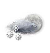
Tonight
-11°Feels Like -15°due to the wind
Gusts 60 km/hW 25 km/h
Very cloudy sky with short clear periods.
Snow showers.
Risk of snow
70 %
Freezing level 0°
0 m
Snow-rain limit
0 m
Fresh snow
1.5 cm
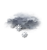
This morning
-15°Feels Like -19°due to the wind
Gusts 60 km/hW 25 km/h
Very cloudy to overcast sky.
Light snow showers.
Risk of snow
70 %
UV index0Low
Freezing level 0°
0 m
Snow-rain limit
0 m
Fresh snow
2 cm
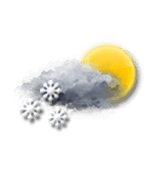
This afternoon
-14°Feels Like -17°due to the wind
Gusts 60 km/hW 25 km/h
Very cloudy sky with short sunny periods.
Snow showers.
Risk of snow
60 %
UV index0Low
Freezing level 0°
0 m
Snow-rain limit
0 m
Fresh snow
< 1cm
This evening
-15°Feels Like -19°due to the wind
Gusts 60 km/hW 25 km/h
Very cloudy to overcast sky.
Light snow showers.
Risk of snow
70 %
Freezing level 0°
0 m
Snow-rain limit
0 m
Fresh snow
2 cm
Night
-15°Feels Like -18°due to the wind
Gusts 55 km/hW 20 km/h
Scattered clouds, but also several good sunny periods.
Snow showers.
Risk of snow
60 %
Freezing level 0°
0 m
Snow-rain limit
0 m
Fresh snow
< 1cm
Share
Station Info
open
Jay Peak
Avalanche Risk
N.C.
Snow
101 cm
at the top
(1209m)
45 cm
down
(553m)
Snowfall
1 day ago : 15.24 cm 3 days ago : 15.24 cm 4 days ago : 15 cm